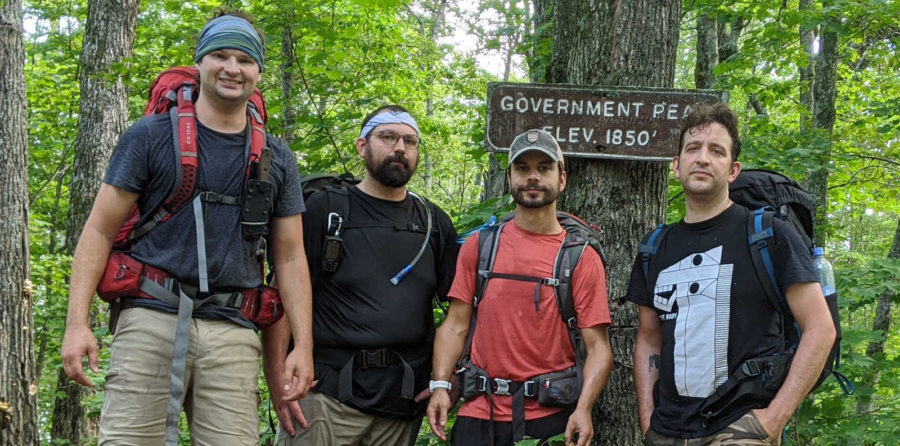
We planned this 4 day backpacking trip for months, wondering if things would close down due to COVID, whether one of us would get sick, or if some other event would prevent us from going, but finally the day arrived for us to set off. We (Chris Ondercin, Michael Gumtow, Mark Gilson (me), and Davis Ciotola) backpacked for 4 days through the treacherous Porcupine Mountains in late August to find solitude, nature, and a short respite from the madness of 2020. It was challenging and the weather didn’t help, but the views and experience made it well worth it. Here’s the journey we took.
Table of Contents
Travel Day
We decided to arrive the day before in Ironwood, MI and stay at an AirBnB which would give us time to make the hour long drive in the morning to the trailhead. On the way up we stopped at Rocky Reef Brewery (I recommend their Musky Bite IPA, Mike likes their Base Tan Sour and Just Wheat It! Blood Orange Wheat) and picked up some beer to enjoy up at the cottage with our pizza from Pizza King Joe (in Ironwood). As is tradition, we unveil the contents of our backpacks to ensure there wasn’t any duplicate supplies (bug spray, sun screen, rope, etc…) and settled in for an early night.
Day 1 – Escarpment Trail/Government Peak Trail
In the morning we had a short breakfast and headed out to the Porcupine Mountains, which was about an hour drive from Ironwood, MI. After registering the vehicle and validating our campsite registrations, we drove up to the Lake of the Clouds overlook, which is where we would start our journey. We filled our hydro-packs, double checked our gear, and headed down the Escarpment trail, only to see this.
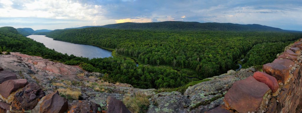
I will say, at the Porcupine Mountains, you really can get right out of the car and see one of the most amazing views without really having to hike anywhere. The Escarpment Trail followed the rocky cliff for almost 4 miles, providing us amazing views of the Lake of the Clouds and the valley below, as well as a distant view of rain which alleviated some of the heat and humidity that day. An additional short 2 mile stint on the Government Peak Trail led us to our first campsite, GP-1.

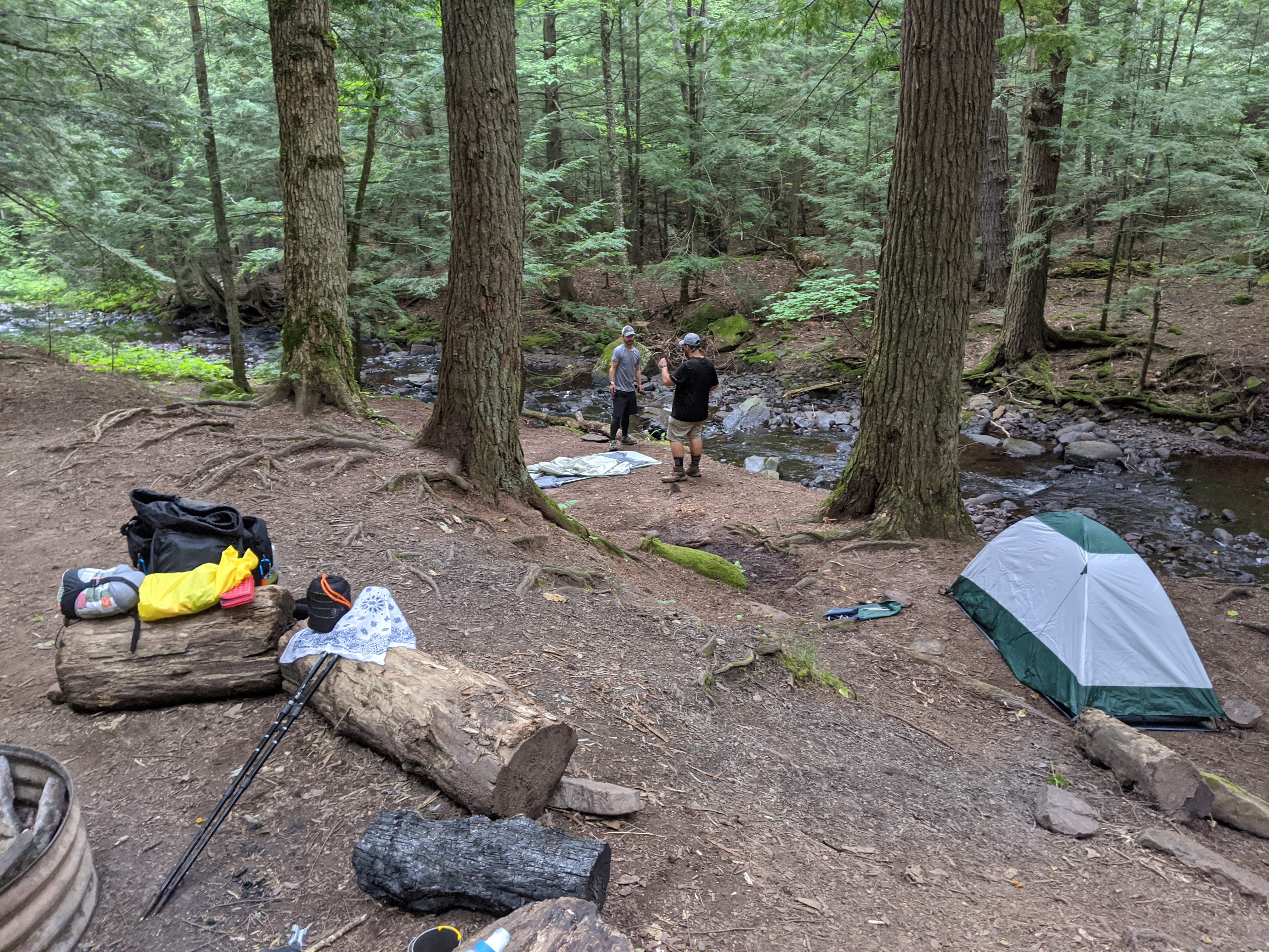
GP-1 was huge, could probably have accommodated at least 8 tents if needed, and had a really great water source, the Carp River. We setup our tents, ate dinner, and then went further up river to see Trap Falls.
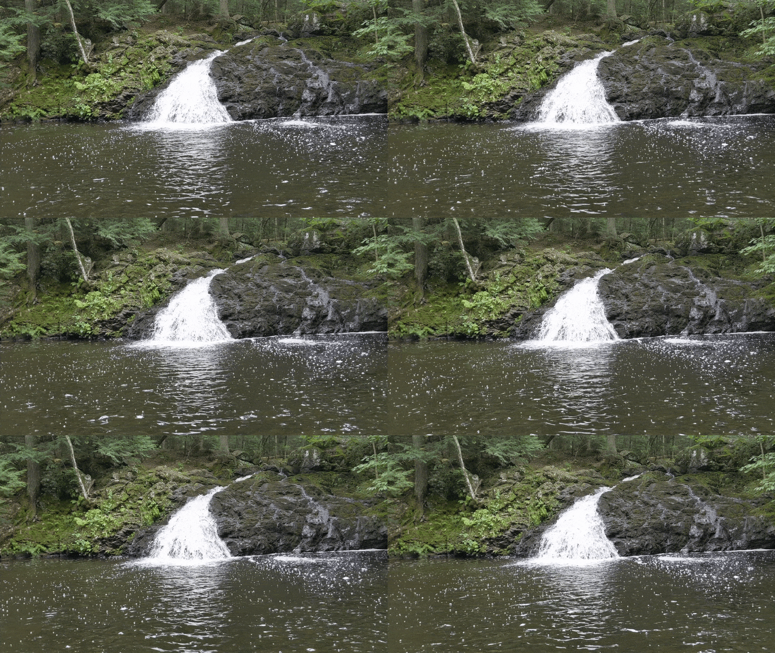
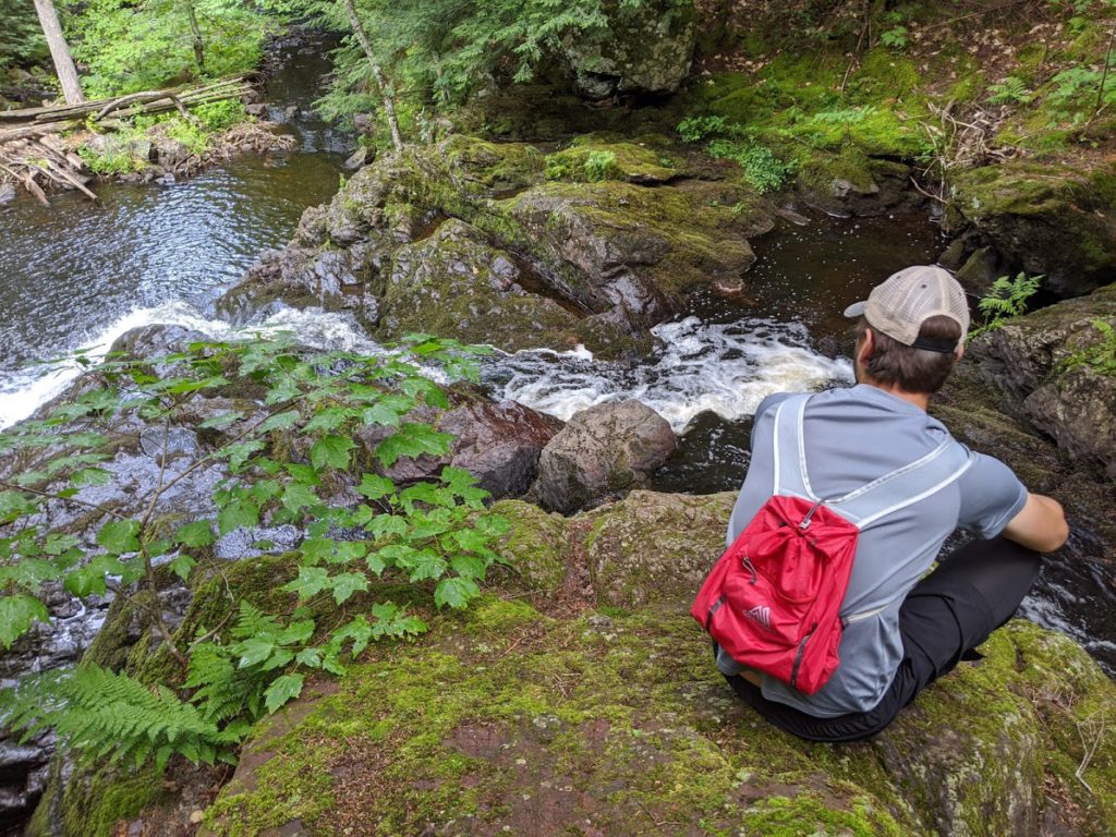
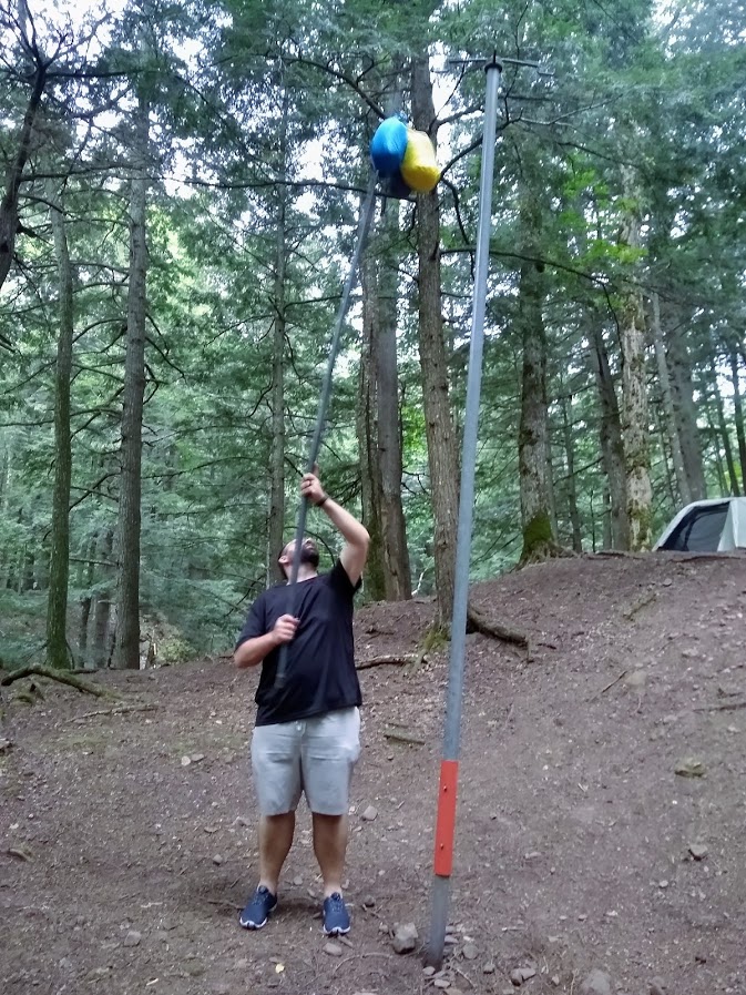
After returning from Trap Falls, we started a fire and enjoyed the evening listening to the sound of the flowing river. This was also our first experience with a bear pole.
Data
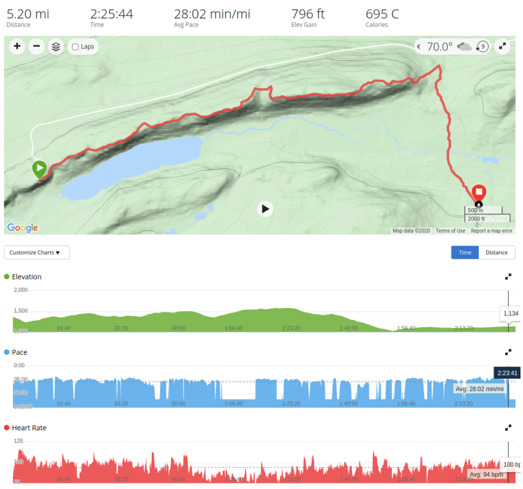
As I typically do, I captured all our hike data (well, my hike data if you are looking at heart rate) so we could see elevation change, pace, distance, and our path. On our last hike I used a FitBit, but I’m currently really liking my Garmin Forerunner 325. Below are the results on day 1. As you can see we primarily dropped in elevation and had a pretty easy first day.
Day 2 – Government Peak Trail to Mirror Lake Trail
Admittedly, we have almost no photos of the first half of day 2. It was an up hill climb we’d pre-hiked the night before to look at Trap Falls, and most of Government Peak Trail was humid, buggy, and dense, so not much to see. We dug deep and rallied to where Government Peak Trail and North Mirror Lake Trail met to take a 30 minute lunch break before making our way down the ridge to our day 2 campsite, LOC-1. I’m not sure how the rest of the guys feel, but this day was tough. I won’t say it was harder than day 4, and we’ll get to why in a bit, but these were miles we worked for with little place for views of awe or moments of rest. On our way down North Mirror Lake Trail, I will say we did meet our first “barefoot”. I’m going to refer to them as that from here on out. They were just that, “barefoot”, no shoes, socks, and proud of it. How they hiked this way, I don’t know. Why? Not sure, something about “shoes getting in the way.” It was confusing and something to distract our minds. At last, we arrived at LOC-1.

Day 2 was our cheat day, and by that I mean, we were less than a mile from our vehicle, and planned accordingly. Once our tents were setup we headed up a rather steep climb to the parking lot to exchange clothes, food, and more importantly, drink beer we had brought with us in the cooler. As we hiked up the hill, we heard someone playing bagpipes on the edge of the cliff, blasting songs for miles. It was nice having a few beers to recover from a long hike, and swapping out clothes and food allowed us to essentially only pack for 2 days at a time. We also took the opportunity to drive down the road and take a swim in Lake Superior, wash the stink off and enjoy the cold refreshing feeling of the lake. Back down the hill we went, having about an hour before a rather substantial storm hit, drowning the area in rain for the rest of the night. This storm killed the mood and had a rather large effect on the rest of our hike, washing out a lot of the trails we were about to hike.
Data
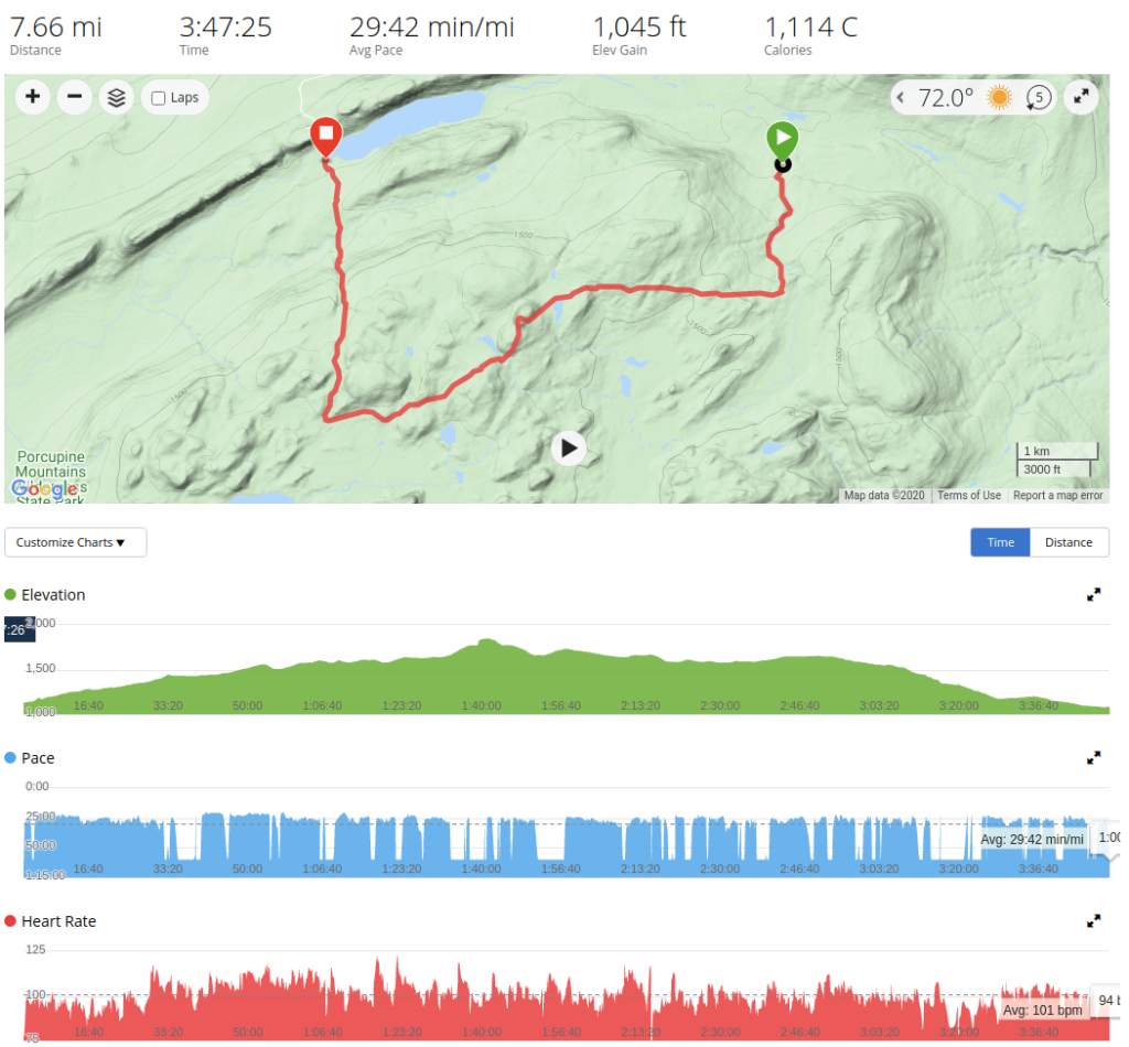
It seems like although our hike felt considerably more difficult, my heart rate and pace went largely unchanged. We put in almost 8 miles (over 8 miles if you count the walk to and from the vehicle), so day 2 was overall more challenging.
Day 3 – Big Carp River Trail
We all woke up to wet tents, some tents were wet inside. It was demoralizing, but we packed up and pushed onward down the Big Carp River Trail which starts off following the same ridge we walked on day 1, but this time heading west. The first several miles were scenic and helped boost our mood.

Eventually the trail descended into the pine forest below where the trails were smooth, almost spongy, and very easy to hike. There were 2 river crossings, which I was not expecting, but both were relatively easy and shallow, giving our feet a chance to cool down.
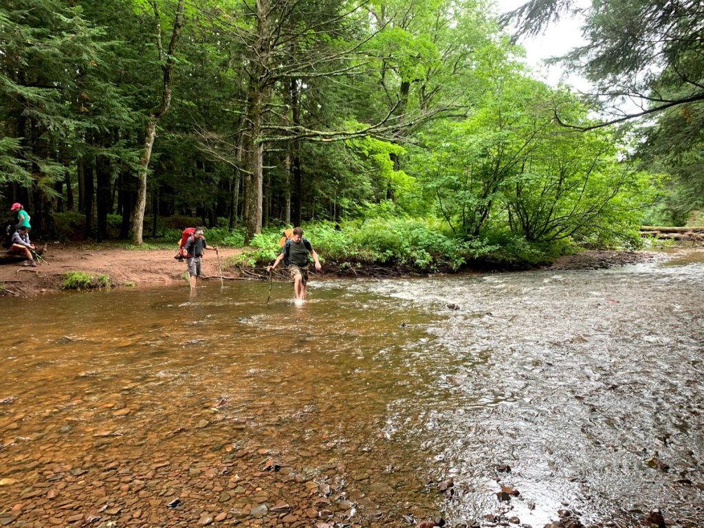
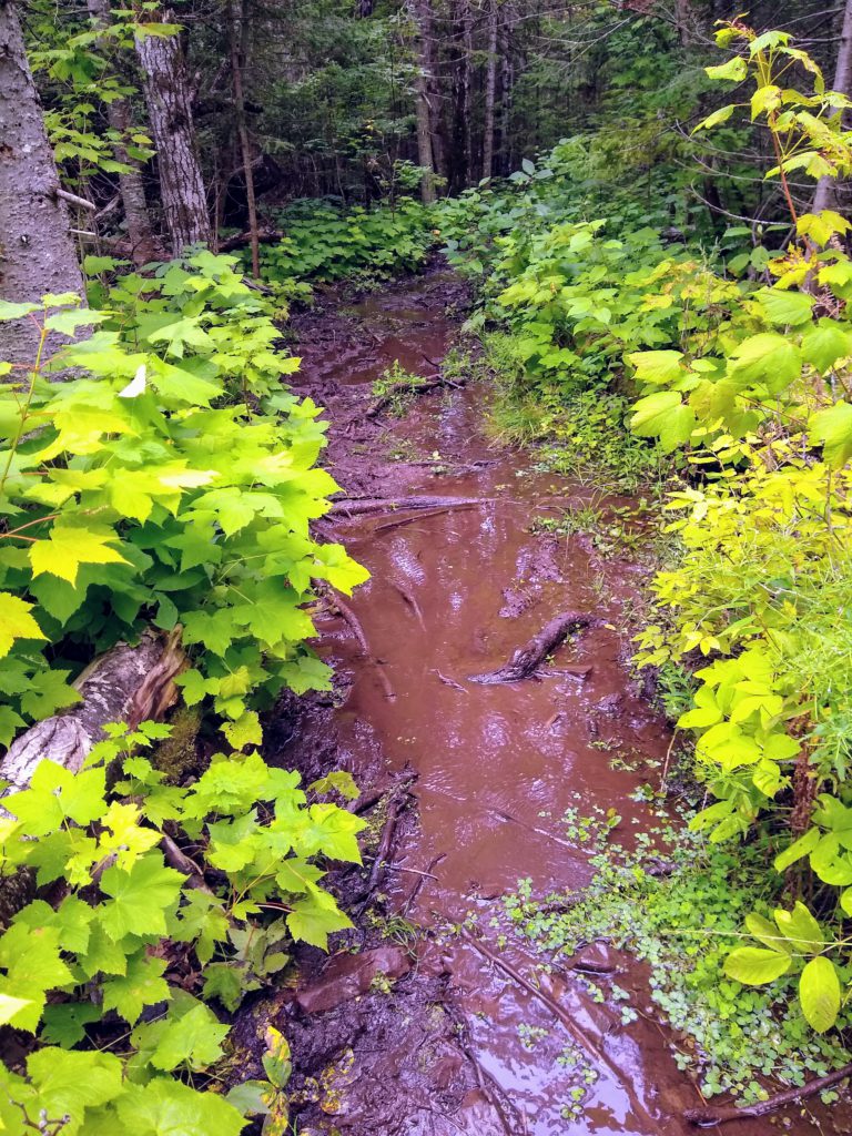
This was also the start of what would be a long muddy journey through the remainder of the trails. At times the trail would essentially turn into a bog, and we had to hop from log to log as seen below.
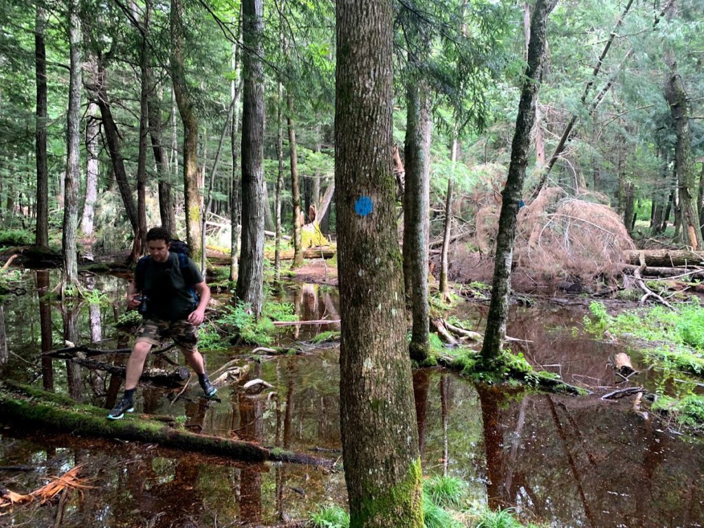
After our first real exposure to muddy trails, we finally arrived at our day 3 campsite, BC-8.
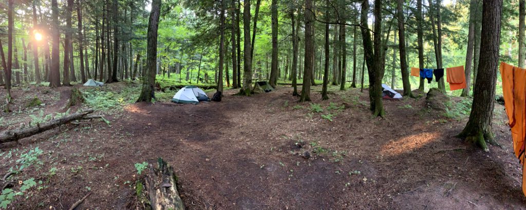
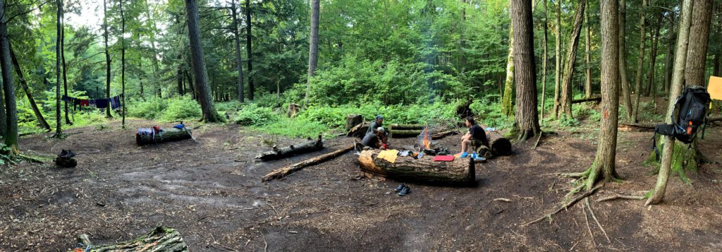
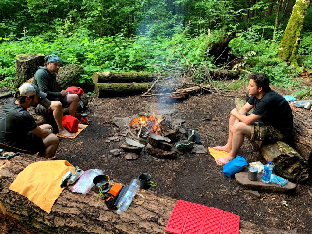
I think it’s safe to say that this was our favorite site of the bunch. It was in very close proximity to a flowing river with small rapids, it was a huge area we had to choose from for tents, plenty of tree cover for shade and hanging things to dry, and it had a great campfire setup. We spent the rest of the afternoon and evening boosting our morale back up to where it should be and drying out all our equipment and clothes.
Data
Another long (comparatively) hike at almost 8 miles mostly at a slow decline in elevation.
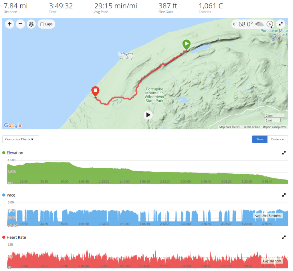
Day 4 (Part 1) – Big Carp River Trail to Lake Superior Trail
As I reflect on day 4 I get a shiver down my spine only mitigated by the recollection that we finished the day in Wausau, WI eating cheeseburgers and cheese curds, so here’s the story. Lake Superior Trail was supposed to be an easy flat fast hike to LS-17, our last campsite. We’d then get up early the next morning, hike out the remaining miles back to the vehicle and call it a year. Instead, we trudged through mud and small bogs for likely over half the miles we put in getting to LS-17, going by hiker after hiker who asked us the same thing. “Is it like this from where you came?” We’d answer, “unfortunately, yes.” In retrospect, I wish I’d just resigned to getting my trailrunners fully submerged in mud and water and just walked carelessly through the mess. Instead, I hopped from log to log, trying to avoid getting wet, and burning lots of energy doing so, at a very slow pace. During the miles that weren’t muddy, we had decent trails and great views.

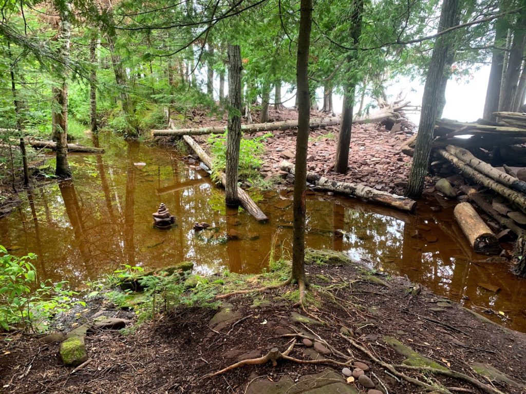
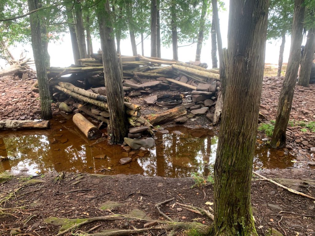
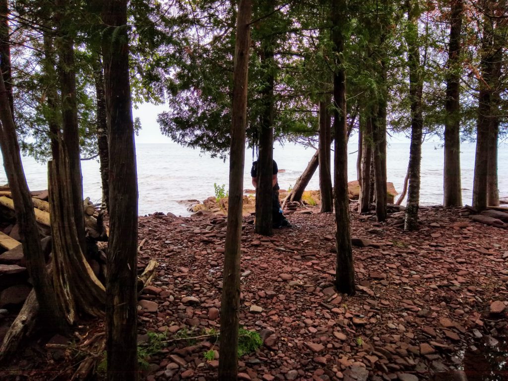
When we arrived at the entrance to LC-17 (image below), it was basically a stream running down into our site.
There was a small island we could stand on, and the rocky shore. If we were forced to, we *may* have been able to find enough room for 4 people to tent, and I’d say we would have likely needed to put at least one tent over by the bear pole, which would have been a terrible idea. We spent 10 minutes looking around the site, thinking the same thing….we’re going home today. It was a disheartening feeling, but we grouped up and all agreed. It’s time to leave, we’re going to hike the remaining 4 miles out of here, and we’re going to do this in 15 minutes, so fill up your water, get some food, and get ready.
Data
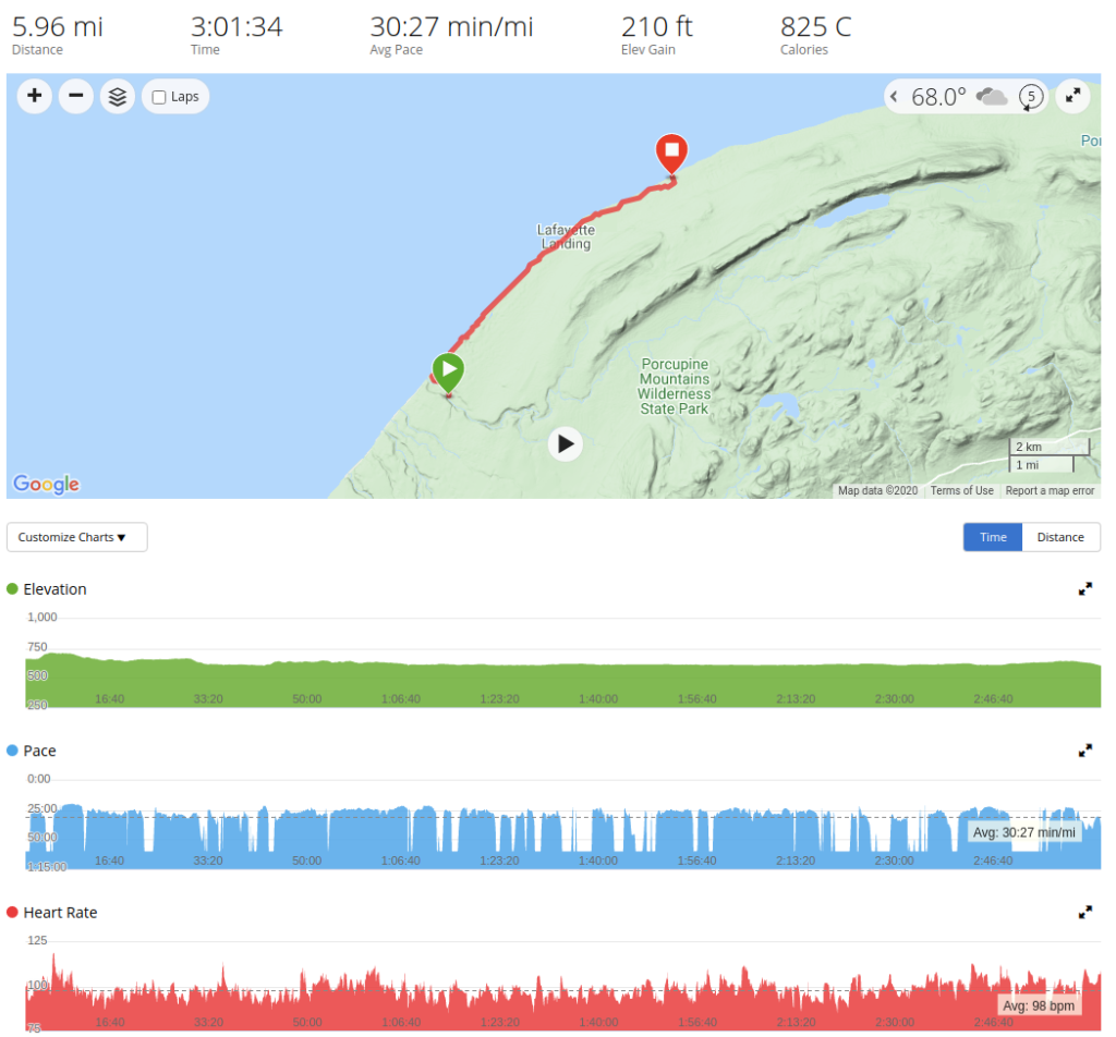
Flat terrain, little to no elevation change, steady determined pace through muddy trails.
Day 4 (Part 2) – Lake Superior Trail to Home
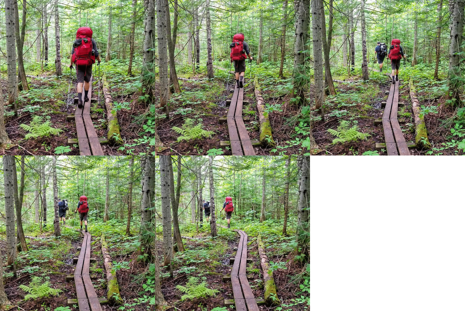
It was approximately 1:30 pm Wisconsin time when we headed out of LC-17 and back onto the trail. As an aside, I will say it was confusing trying to figure out what time it was since my watch syncs time with my phone, and we were bouncing back and forth between Wisconsin and Michigan cell towers depending on where we were on the trail. The trail slowly and quite thankfully returned to being rocky, but that also meant we were heading back up the ridge. Of course, this part of the trail, the part that didn’t need it, had planks of wood.
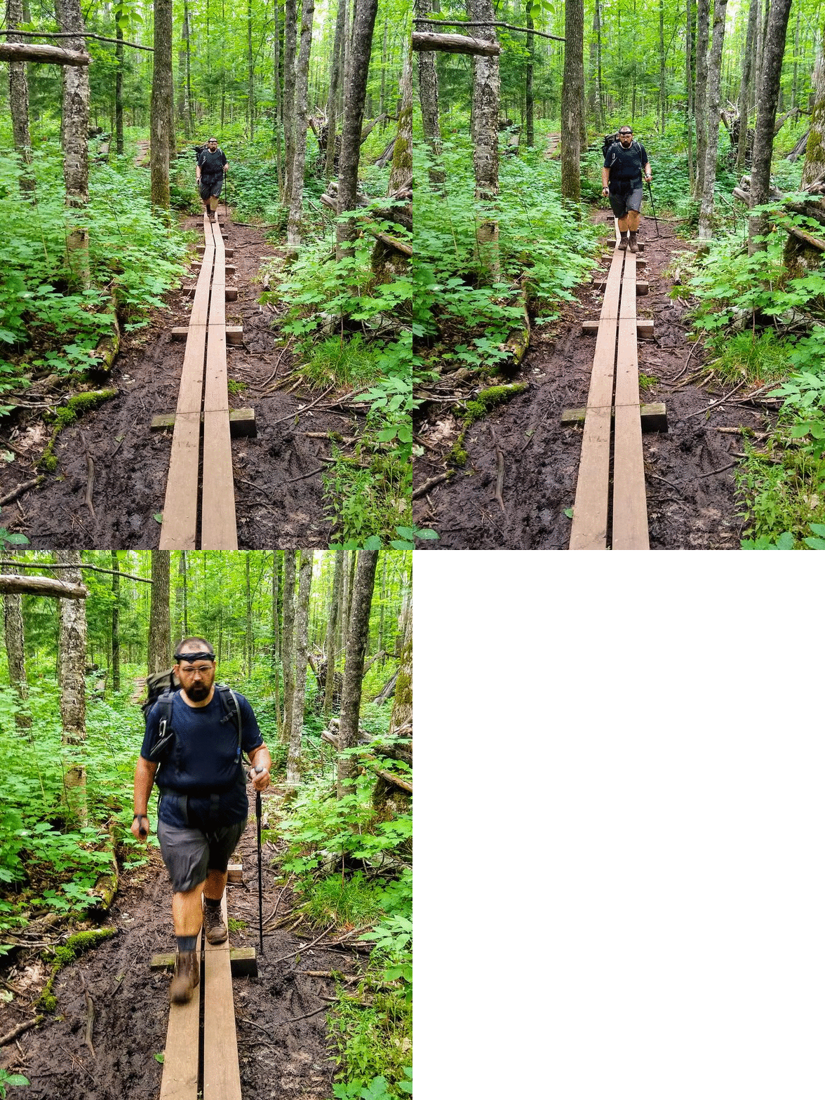
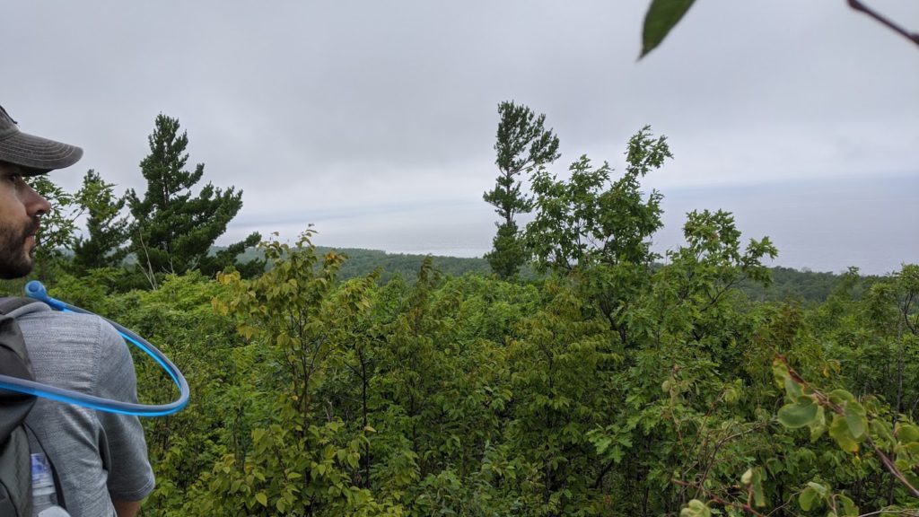
Off we went, no time for scenery or rest, we hauled ass out of there. It was a steep climb up. Once we arrived at the top, it was, of course, a beautiful view. Shortly thereafter we hit 107th Engineers Memorial Hwy which took us back to the vehicle up at Lake of the Clouds Overlook.
We gave each other an exhausted high five, changed into new clothes and/or cleaned up, and we headed out. We carpooled from Wausau, WI, so we called in an order at Milwaukee Burger Company in Wausau for pickup, ate it at the park-and-ride, and each headed on our way to home.
Data
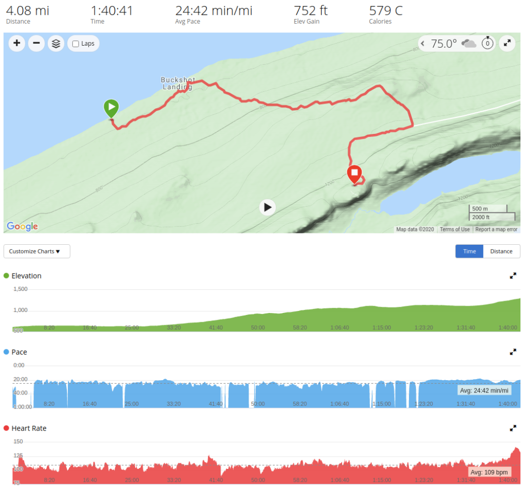
Elevation gain of almost 800 feet over 4 miles at a much faster than normal pace of 25 minutes per mile, we were ready to get out.
Reflections
The Porcupine Mountains, at least the trails and distances we chose, were much more difficult than our experience on Isle Royale. The ridge line made for tough hiking, but also for great views. The weather we had on this trip was also difficult. We never really experienced rain quite like this, but it gave us an opportunity to learn about our gear and figure out how to adapt. I really enjoyed having Davis along this time and I think 4 guys was just the right amount of people for the sites we had. As exhausting as it may sound, I thoroughly enjoy doing it, especially in light of the COVID stuff this year, it was great to get out and spend time with friends in the woods. I highly recommend the Porcupine Mountains, even if it’s just a short visit to the Lake of the Clouds Overlook. As we head into fall/winter, I’m sure I’ll be figuring out where we backpack next, and just what journey we’ll be getting into for our 2021 backpacking trip!
Special Thanks
I’d like to thank Mike, Chris, and Davis for letting me share their content (video/photos) on this site.

